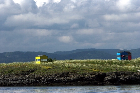
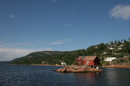
We have passed by this place many times. If memory serves me right, these tiny houses has been around for a couple of seasons now. They go down in the fall and pop up again in the spring. Only a low pile is visible during winter. Okay, so I have a clue as to what it is. The mystery is, how did they get permits to erect these houses on this small pearl of an island. I want one…
Steilene
Latitude: 59° 49.049 N Longitude: 10° 36.186 E
Click chart to view larger scope, or here for an even larger scope in a separate window.
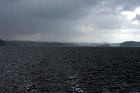
Our last stopover on this summers cruise was Son. Since it rained for the duration of our stay, all I can offer is this picture of us leaving Son and the rain behind.
Sonstangen
Latitude: 59° 31.541 N Longitude: 10° 39.214 E
Click chart to view larger scope, or here for an even larger scope in a separate window.
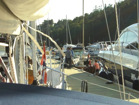
Back in Hankø, this time we stayed in the guest harbor. A treacherous shallow place, we got stuck on the quay mooring chain trying to leave in a bit of wind.
Hankø
Latitude: 59° 12.731 N Longitude: 10° 47.026 E
Click chart to view larger scope, or here for an even larger scope in a separate window.
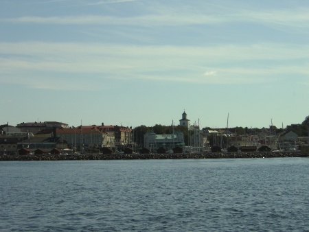
Once again Strömstad, just across the boarder to Sweden, turned out as the furthest destination on our summer-cruise. This time we had a few more days to spend cruising, but decided to head back after studding the weather-forecast.
Leaving Strömstad in a small window of nice weather.
Strömstad
Latitude: 58° 56.117 N Longitude: 11° 10.114 E
Click chart to view larger scope, or here for an even larger scope in a separate window.
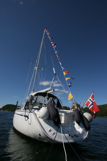
Anchoring in the sheltered waters behind Hankø, we were celebrating a birthday aboard Ventulus. That was a good reason as any to pull out the signal flags.
Hankøsundet
Latitude: 59° 13.205 N Longitude: 10° 46.645 E
Click chart to view larger scope, or here for an even larger scope in a separate window.
Next stop on our cruise was beautiful and picturesque Holmsbu. The place recently got a new guest harbor that also looks very nice. However, the reason we made the detour to Holmsbu was to look at some paintings at ‘Holmsbu Billedgalleri‘.
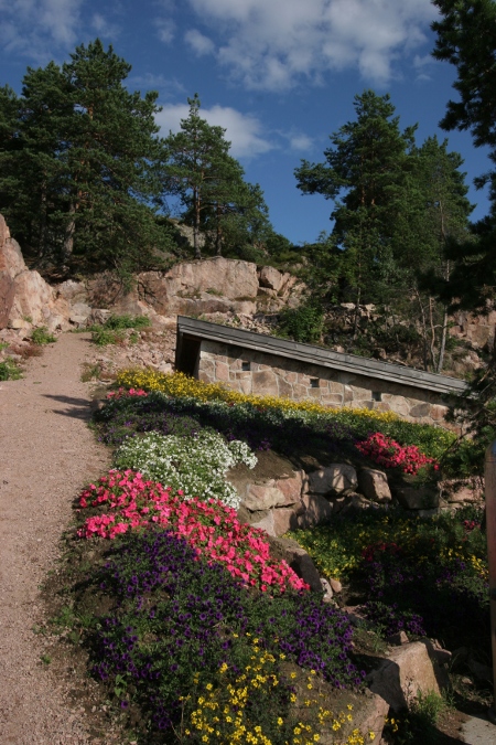
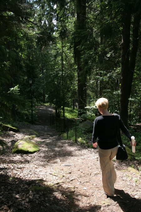
A colony of painters settled her 100 years ago. Inspired by the best known of them, the gallery, featuring some of their work, is in the woods, literally facing the woods. Bit surprising as this is otherwise a marine environment.
As luck would have it, an old friend was just ‘back in town’, so we paid him and his family a visit.
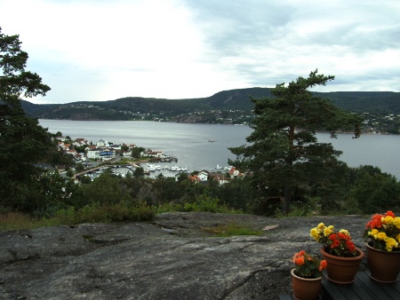
Leaving ‘Holmsbu Billedgalleri’.View of Holmsbu from our friends terrace
Holmsbu
Latitude: 59° 33.675 N Longitude: 10° 25.509 E
Click chart to view larger scope, or here for an even larger scope in a separate window.
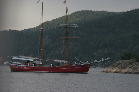
Back in Sandspollen to start off a week-long cruise down the Oslofjord. Late in the evening Sandspollen saw this Danish visitor, the Baltic trader ‘Lille Dan’.
Sanspollen
Latitude: 59° 40.004 N Longitude: 10° 34.828 E
Click chart to view larger scope, or here for an even larger scope in a separate window.