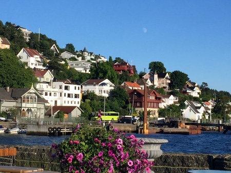
Drøbak was our last stopover on this years summer cruise. We like everything about Drøbak, except that the guest harbor is poorly protected against waves from passing traffic. We extended our stay with an extra night, and spent more time aboard Ventulus than on previous visits. So, we become very aware of how much pounding the boat had to endure.
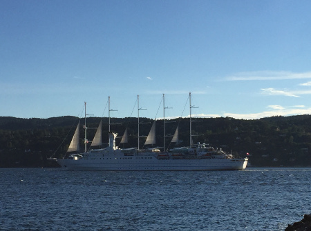
Wind Surf, one of the largest sailing cruise ships in the world.
Drøbak
Latitude: 59° 39.558 N Longitude: 10° 37.688 E
Click chart to view larger scope, or here for an even larger scope in a separate window.
Okay, it is not much, I admit. There was a larger group that we followed a while, just off Filtvet Fyr. We saw them several times, up to 3-4 individuals simultaneously. But we only managed to capture one on video, and it barely breaks the surface for a second.
Filtvet Fyr
Latitude: 59° 34.258 N Longitude: 10° 37.079 E
Click chart to view larger scope, or here for an even larger scope in a separate window.
We have visited Horten once earlier, about 10 years ago (before I started this logbook). Back then we thought it was a bit dull, for a city this size. A lot has happened since then. A short stroll revealed a lively city center with plenty restaurants, cafes and pubs (even a microbrewery). So, what did we do? Craving pizza, we opted for a chain restaurant right on the quay. A stupid move…
Horten
Latitude: 59° 24.792 N Longitude: 10° 29.355 E
Click chart to view larger scope, or here for an even larger scope in a separate window.
Our goal is to visit at least one new place each summer. So we decided to cross the outer Oslofjord from Valer to Hvasser. The contrasts can be extreme out here. At sea the weather was moderate, moderat winds and light rain. But the waves from Skagerak were high, so the two hour crossing was rather unpleasant. A few hours later, the rain cleared and with the absence of waves, everything was just idyllic.
Krukehavn
Latitude: 59° 4.901 N Longitude: 10° 27.163 E
Click chart to view larger scope, or here for an even larger scope in a separate window.
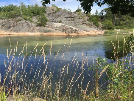
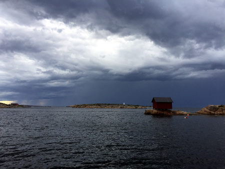
PapperhavnThe picturesque channel that splits Papperøy form Vesterøy. Papperøy on the far side.Dramatic skies – with a thunderstorm brewing in the north.
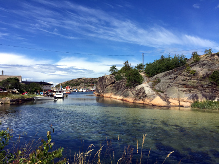
Papper
Latitude: 59° 6.282 N Longitude: 10° 50.543 E
Click chart to view larger scope, or here for an even larger scope in a separate window.
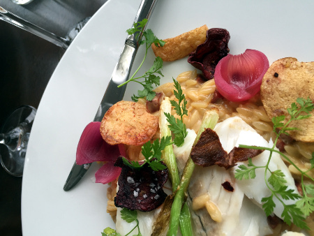
Generally, we do not have high expectation to restaurants, at small places, around the Oslofjord. Possibly because we are spoiled by the high standarde in Oslo. We have visited Hankøsundet Restaurant earlier, and liked it. This year they have shifted the menu more towards seafood. The dish that caught our attention was fantastic. And this restaurant visited turned into memorable culinary experience.
Hankøsundet
Latitude: 59° 12.824 N Longitude: 10° 47.289 E
Click chart to view larger scope, or here for an even larger scope in a separate window.
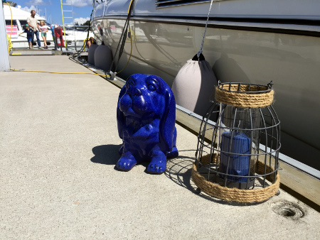
A uncommon sight – ornaments on the pontoon in Son guest harbor.
Common decency prevented me from taking a picture of this boat. It would have been a great picture too, because there was a spectacular ornament explosion aboard. Some of it spilled over to the pontoon though, so I contented myself with taking a picture of it.
Son
Latitude: 59° 31.409 N Longitude: 10° 40.937 E
Click chart to view larger scope, or here for an even larger scope in a separate window.
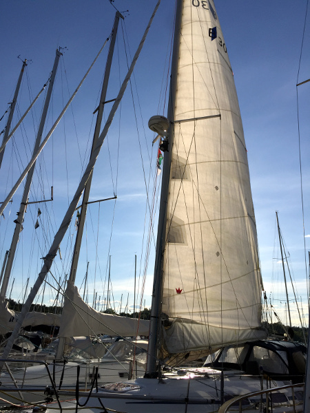
Drying the mainsail after a sponge-down (no scrubbing allowed)
Today the mainsail got a long overdue wash. A weak bleach (chlorine) solution and a sponge did the trick. There was a decent buildup of green mold, from rain water being trapped in the folds of the sail. Most of it came off, although, some areas still have a slight green hue. Black mold spots also came off, except for the mold that appears to be trapped between sheets of Dacron (where the sail is reinforced). Never the less, it will be more enjoyable and less embarrassing to hoist sails, this season.
Frognerkilen
Latitude: 59° 54.699 N Longitude: 10° 42.102 E
Click chart to view larger scope, or here for an even larger scope in a separate window.
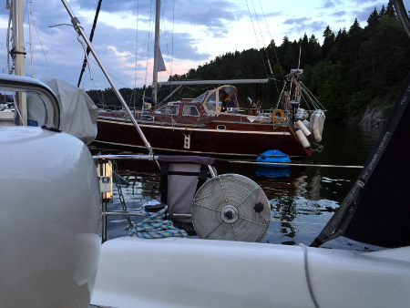
Our next-door neighbor, just a leap away at the closest
We often prefer anchor or buoy over quay or pontoon, if there is a choice at our selected destination. Privacy is just partly the reason. The feeling is freer and more outdoorsy, when surrounded by water rather the other boats. And we like that feeling. But not all agree. Some prefer to anchor right next to others, even though there is plenty of space at the anchorage. This is the magnet effect.
Ostøya
Latitude: 59° 52.581 N Longitude: 10° 34.73 E
Click chart to view larger scope, or here for an even larger scope in a separate window.