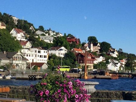
Drøbak was our last stopover on this years summer cruise. We like everything about Drøbak, except that the guest harbor is poorly protected against waves from passing traffic. We extended our stay with an extra night, and spent more time aboard Ventulus than on previous visits. So, we become very aware of how much pounding the boat had to endure.
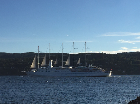
Wind Surf, one of the largest sailing cruise ships in the world.
Drøbak
Latitude: 59° 39.558 N Longitude: 10° 37.688 E
Click chart to view larger scope, or here for an even larger scope in a separate window.
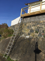
Well, it opened for business in 2010, but it is new to us. This harbor works best in good weather. It is pretty tight, we witnessed some bumpy maneuvering even though the conditions were good.
Drøbak
Latitude: 59° 39.558 N Longitude: 10° 37.688 E
Click chart to view larger scope, or here for an even larger scope in a separate window.