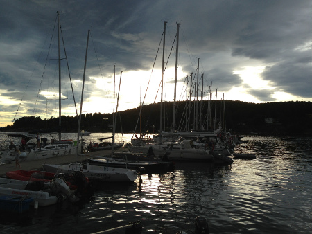
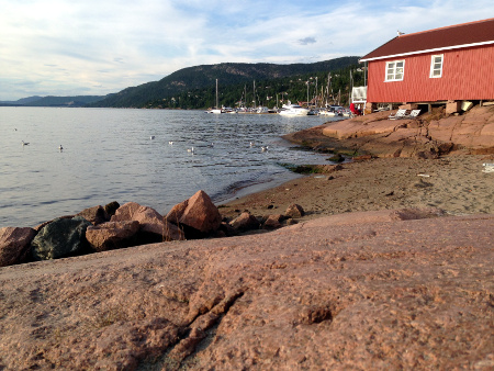
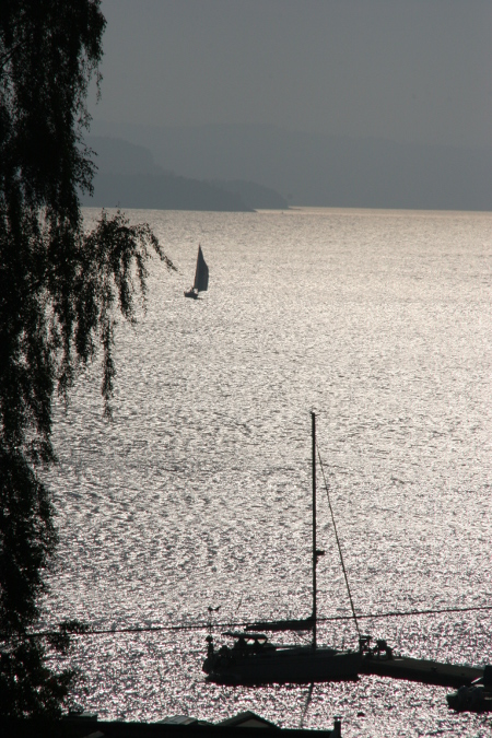
I have noticed that entries from Son are all a bit gloomy. I need to do something about that, because this too is a small picturesque artisan town. But not this time, our last stop on this summer’s sailing adventure, can very well look a bit gloomy.
Son
Latitude: 59° 31.409 N Longitude: 10° 40.937 E
Click chart to view larger scope, or here for an even larger scope in a separate window.
The first time I blogged about this place I boosted about art galleries in this picturesque artisan town. We keep coming back, understandably, but it is mostly for the shrimp sandwich. The place is still picturesque and we have friends that resides here in the summer, although we missed them on this occasion, but the shrimp sandwich alone will make us (me) take this detour.
Holmsbu
Latitude: 59° 33.675 N Longitude: 10° 25.509 E
Click chart to view larger scope, or here for an even larger scope in a separate window.
We were happy to get out of the waves and find a secure place to spend the night. Surroundings comprise of one pub, a few industrial buildings and a residential area, tranquil on the edge of boring. But the mooring was good…
Vallø
Latitude: 59° 15.574 N Longitude: 10° 29.373 E
Click chart to view larger scope, or here for an even larger scope in a separate window.
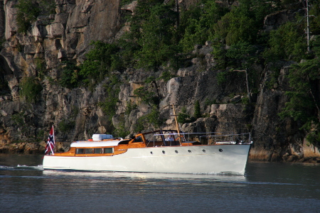
Being a sailor (read: sailboat owner) one seldom admires motor yachts. In fact they are regularly frowned upon, specially if the motor to boat ratio is high. This one is a beauty though. Do not really know anything about it, but earlier it was moored at a royal summer residence and it was crewed by uniforms.
Hankøsundet
Latitude: 59° 13.205 N Longitude: 10° 46.645 E
Click chart to view larger scope, or here for an even larger scope in a separate window.
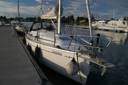
We intended to spend a night at Refsnes Gods, and figured it would be fun to arrive by sea. My worries about the shallow water around their pontoon-dock was swept away by assurances that larger sailboats had visited in the past. We struggled a bit in the windy conditions, as we moored to the pontoon. However, the next day was supposed to be calmer, even so, I broke out the heavy duty mooring lines.
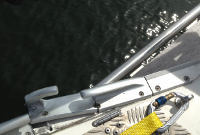
Torn fairlead
Next morning Ventulus and the pontoon was engaged in a crazy asynchronous dance, that had apparently gone on for a while. I cant blame the weather-man, the wind was calmer, but from the opposite direction, and with that came waves amplified by the shallow beyond the pontoon. The pontoon did not do much in breaking the waves either, more like encouraging them. The damage: a torn apart fairlead and a bent out of shape bow-ladder.
Refsnes
Latitude: 59° 26.6361 N Longitude: 10° 36.4033 E
Click chart to view larger scope, or here for an even larger scope in a separate window.
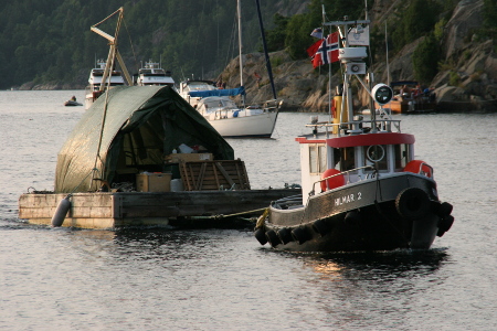
On this fine evening, a tough little towboat, towed a ‘barge’ loaded with ‘stuff’ into Sandspollen. It was heading for a corner of Sandspollen that is a protected recreational area. So, we must believe the purpose of the ‘stuff’ is recreational…
Sandspollen
Latitude: 59° 40.004 N Longitude: 10° 34.828 E
Click chart to view larger scope, or here for an even larger scope in a separate window.